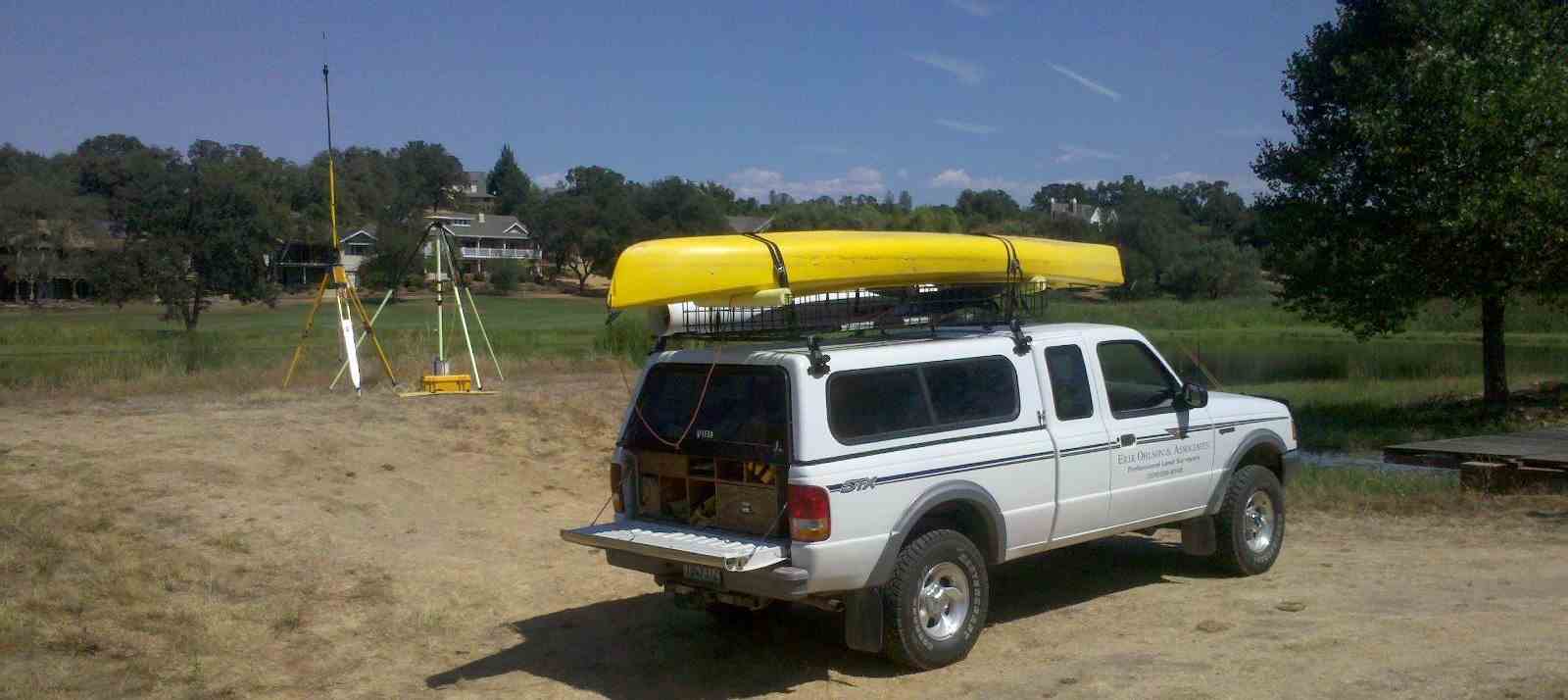
Hydrographic Surveys
Do you need to know the capacity of your lake or pond? Or how much silting has occurred? Scour around bridge piers? Using single beam sonar and GPS, we have the ability to accurately measure depths of up to 330 feet and generate bathymetric maps from the data collected. Give us a call to see if this technology can help with your project.


Copyright © 2014 Erik Ohlson & Associates